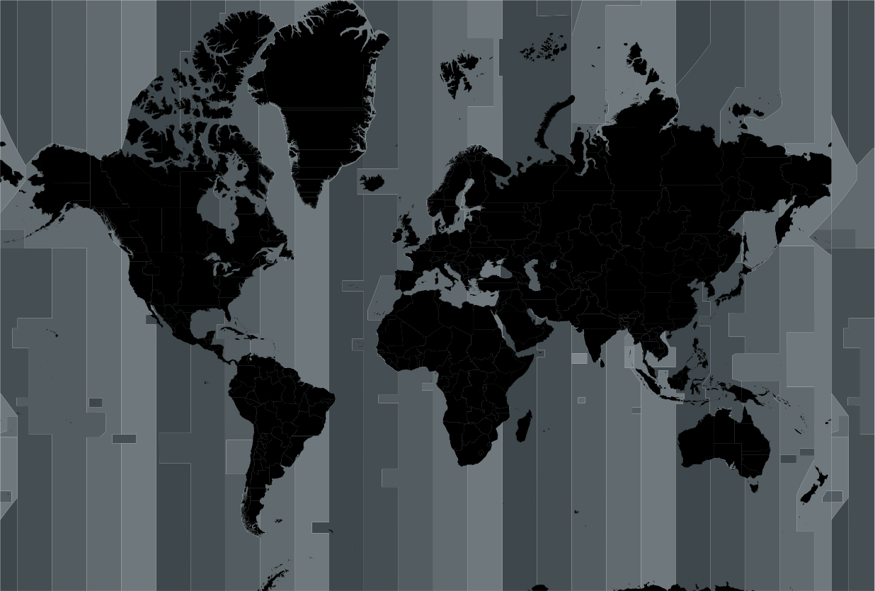
I'm working on a high-res world map that eventually will look like the mock-up image attached, thereby using a multi-layered map that I bought. As you can see I'm working with a double colour palette for the time zones: blue colours for the water, and grey colours for the land.

- AOI-map-2x5paletteAOI-MidnightBlueBrighten-MidnightBlue2BlackGreyBrighten-lowres.png (175.05 KiB) Viewed 1603 times
The problem is in creating the grey areas on the land using the over-all time-zone areas. Unfortunately, the base map does not differentiate for the various time zones for the land areas: all land is the same colour.
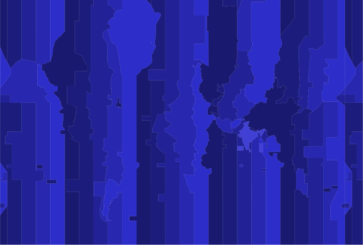
The black/grey image shows how I have made a layer with the TZ zones in grey. The TZ layer is complete/continuous and laying underneath the land layer.
- map-grey-screenshot.png (245.7 KiB) Viewed 1603 times
So now I have to somehow combine the grey-coloured TZ zones with the black-coloured land. And that is where I'm stuck now.
The layer with the TZ zones consists of (one group of) 50 objects (paths), and the layer with the land consists of (one group of) more than 25.000 objects, all the same colour.
What I came up with:
- use the binary intersection tool, but that only works on (two) paths;
- use the land layer to clip the underlying TZ zone layer, but the land layer is way too complex (25k paths) for that.
A final idea I have is this: my impression is that the individual objects in the land layer do not cross the borders of the TZ zones. So maybe there is a way to use a single TZ zone path to select all land objects that are in it, and then colour them?
But any other solutions/ideas are welcome!